| Day | Route | Mileage | Approx time |
| 46 | Seaton to Langdon Hill | 17.9 | 7.5 hours |
| 47 | Langdon Hill to Abbotsbury | 14.1 | 6.5 hours |
| 48 | Abbotsbury to Portland | 13 | 6 |
| 49 | Around Portland | 14.2 | 7 hours |
From March to the beginning of June 2020 the UK was in a strict lockdown. We were only able to walk or do exercise from home, so it was not possible to continue with the South West Coast Path. At the beginning of June restrictions started to be lifted and we were able to travel a bit further afield for exercise as long as we didn’t stay overnight. Fortunately, we had finished the previous walk in Seaton, which was around 1.5 hours’ drive from home. This meant we could do all the remaining legs of the path in one day walks, each one getting closer to home.
The first part of this walk was very interesting: dense woodland grown on landslides. This woodland, known as Undercliffs National Nature Reserve sheltered us from the elements and obscured the views of the sea for a long time.
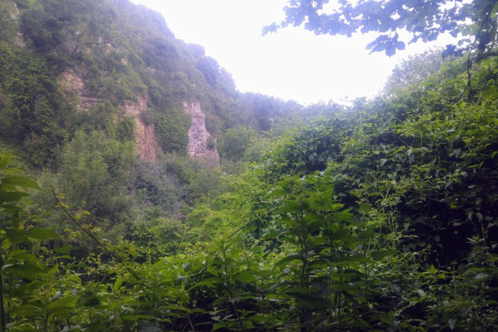
We started to glimpse the sea again, emerging from the thick vegetation to overlook Charton Bay. We continued through more woods with huge cliffs to our left and eventually arrived at the popular seaside town of Lyme Regis. Stopping here for lunch, as soon as my sandwich emerged from its wrapper, an aggressive and hungry seagull swooped down and snatched it right out of my hand. I think the gulls were hungry after several months without scavenging tourists’ leftovers and were brazenly opportunistic, pouncing on each beachgoer as they arrived.
After Lyme the path ascended up high and inland before turning seawards again and descending to Charmouth. This was followed by a steady climb, passing through some very pretty wild flower fields. The long ascent ended at Golden Cap, the highest point on the south coast of England. We were buffeted by the wind as we enjoyed far-reaching views in all directions: back towards Lyme Regis and all the way to Orcombe Point and onwards towards Seatown and beyond. From Golden Cap we turned inland and walked through Langdon Hill, with its impressive collection of Scots pines and larches, back to our car and the drive home.
Where we left off the path last time was just over an hour’s drive from home and we were grateful to be able to continue the coast path when several restrictions were still in place. We could pick fine, sunny days to do the remaining miles of the path.
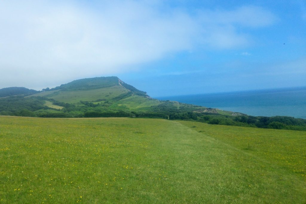
Within 20 minutes of setting out we found ourselves once again on Golden Cap, which is a high, flat hill. This time the weather was perfect, and we could look back at the expanse of coast that we had already covered on foot, all the way to Start Point. As we turned to walk eastwards, the distant shores of Portland were visible.
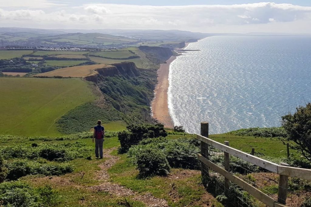
The path descended steeply towards Seatown and we were dazzled by the variety and proliferation of wildflowers, all in their full July glory. Climbing once again, the white cliffs gave way to lush grassland with grazing cattle. Due to herds of cows, including several delightful new-born calves, we diverted on a somewhat circuitous route away from the cliff edge, so as not to unsettle the protective mothers.
Several ascents and descents followed and we had to constantly remind ourselves to look inland as well as seaward, as to our left was a huge swath of the Dorset area of outstanding natural beauty: grazing land, fields and rolling hills, interspersed with farmhouses, small hamlets and larger villages.
As we descended towards Eype beach, the coast appeared as a continuous straight line all the way to Portland. The path continued to the relative civilisation of West Bay, where we were tempted by the smell of fish and chips and coffee.
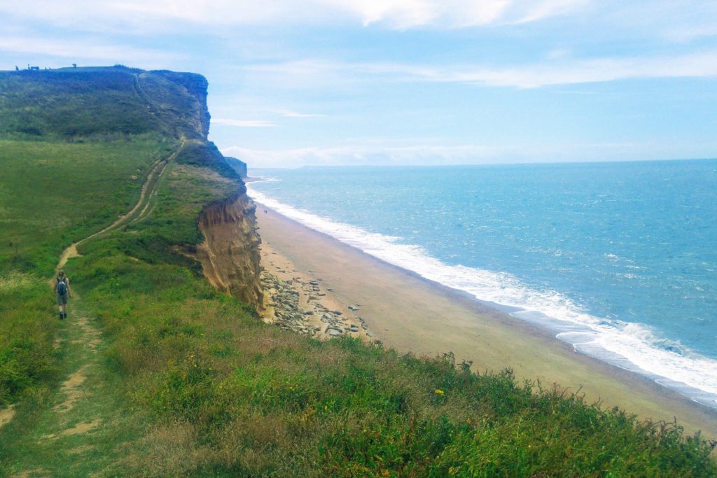
Following another steep ascent, we wended our way through knee high grasses edged with common mallow and wild mustard. Once at the top of the cliff we remained walking at height looking down at the waves gently lashing onto the shingle beach below. Another descent led us through the rather unappealing Freshwater Caravan park and back up again to the wildflower decorated grassy slopes.
Down again to Burton Bradstock beach and the path continued along the old road. It was narrow and broken, virtually on the beach and the remains of instructions to motorists were evident in the sporadic passing place signs. These appeared alone on grassy banks, their use several decades outdated.
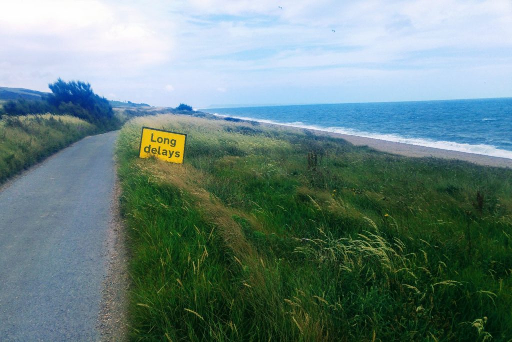
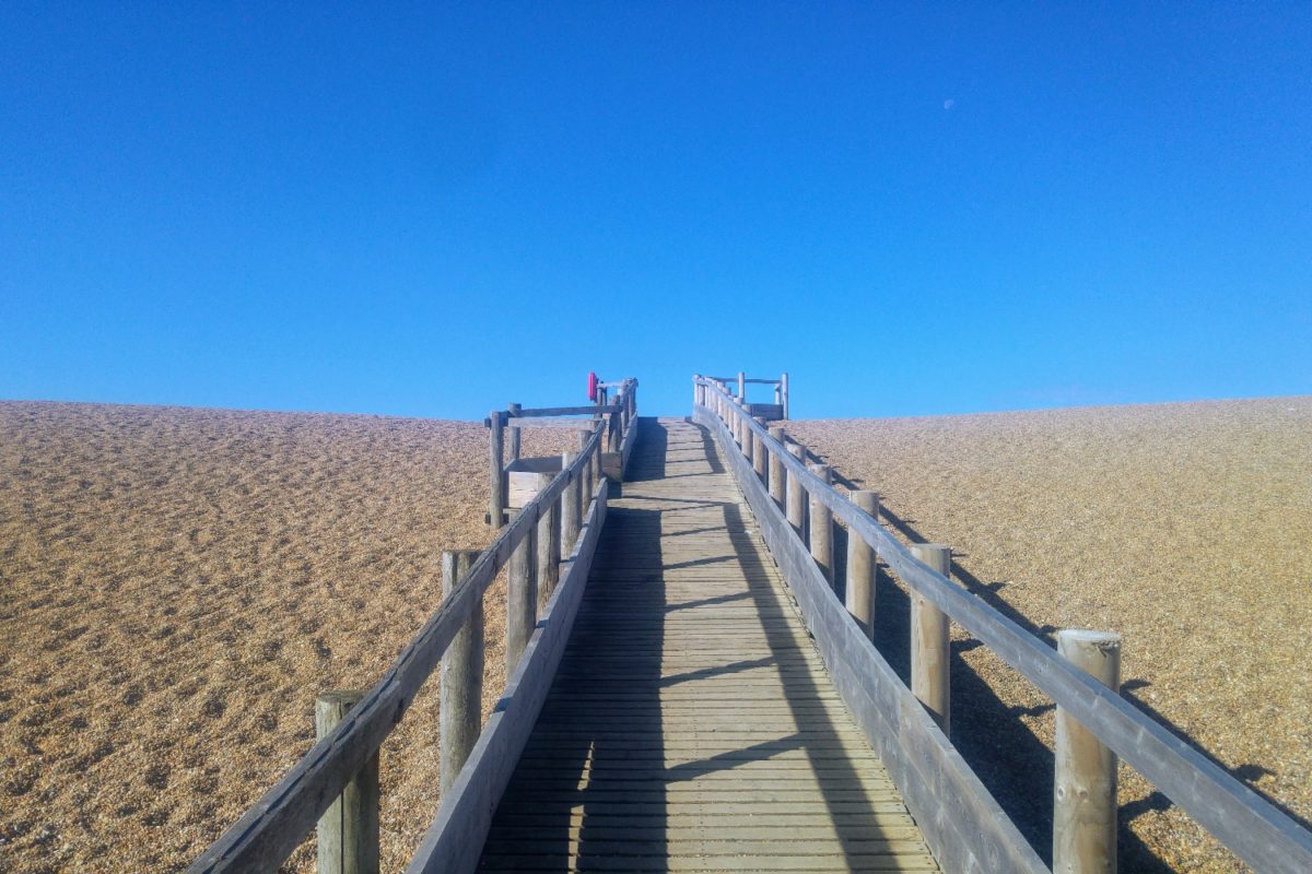
From here onwards we progressed slowly on the pebbles leading up to Chesil Beach. The pebbles were small, but challenging underfoot, as the constant movement made it impossible to maintain a rhythmic striding pattern. The pebbles were spattered with clumps of sea kale and yellow horned poppies, breaking up the colour and texture of the landscape. The high shingle bank concealed the sea, but its presence asserted itself as the large waves crashed against the pebbles and sucked them back out. This scene continued for several miles and finally led us to Abbotsbury beach where we stood high on the shingle bank looking back at the miles completed and forward to the next instalment.
This day’s walk was a welcome break from the ups and downs of the previous stretches. It was a fairly flat walk and the interest lay in the very unusual terrain of Chesil Beach and Fleet Lagoon. Chesil Beach is a natural ridge of pebbles which spans 17 miles from West Bay to Portland. Fleet Lagoon is the largest tidal lagoon in Britain at 8 miles long. These two unique features accompanied us for the entire day.
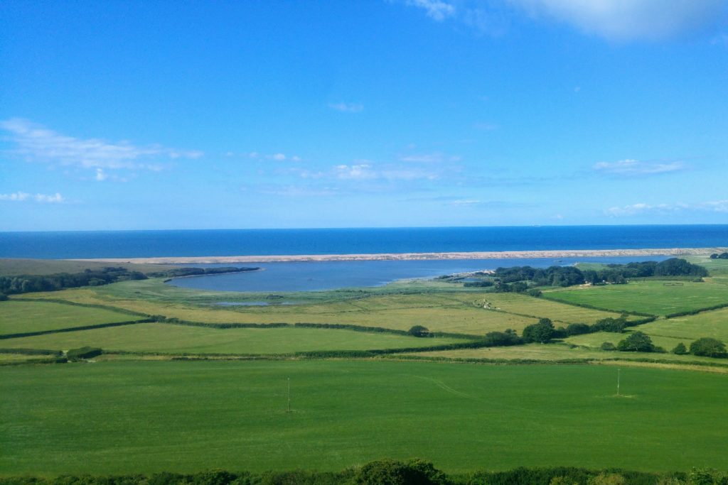
It was a beautiful summer’s day and the variegated colours of the stones contrasted with the deep blue sky. The path struck inland for a while and meandered through fields, but we constantly had the view of the beach and lagoon to our right. We were close to the lagoon for some extended stretches and it was an oasis of calm where we observed the birdlife and the wildflowers.
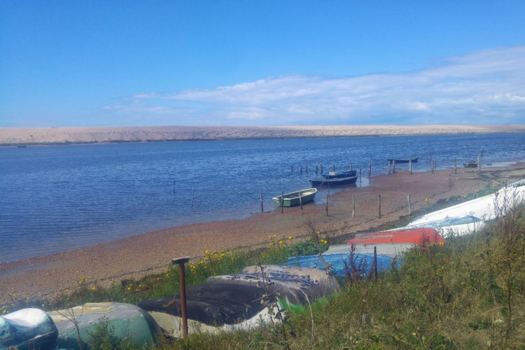
We only met a handful of other walkers on this peaceful and tranquil hike. We walked through woodland, open green meadows, and wheat fields. To the eastern end of the Fleet a limited number small fishing boats were dotted around. Fishing is tightly controlled to retain the many birds, animals and plants that live there. Continuing along the lagoon, we entered the outskirts of the urban areas of Portland and Weymouth and we ended the day at Ferry Bridge.
We were joined by three friends on this walk around Portland. We walked over Ferry Bridge, which joins Portland to the mainland, and took the track upwards to West Cliff. From this amazing vantage point we looked back at the scale of Chesil Beach and Fleet Lagoon, where we had walked a few months earlier.
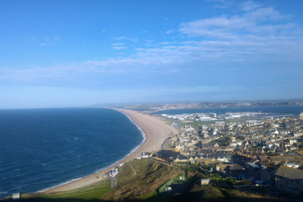
We veered off the path to take a look at the Tout Quarry Nature Reserve and Sculpture Park. Portland stone is a white limestone that has been used to build many buildings in the UK, including St Paul’s Cathedral and Buckingham Palace. The sculpture park is an abandoned quarry where stone faces and fallen crags have been made into works of art. It is a fascinating treasure trove and there is a maze of paths to walk down and boulders to scramble over to reveal sculptures of varying shapes and sizes. The path, strewn with more stones and boulders, gradually makes it way to Portland Bill, the southern tip of the island. There we viewed the prominent red and white lighthouse and more rocky formations, notably Pulpit Rock.
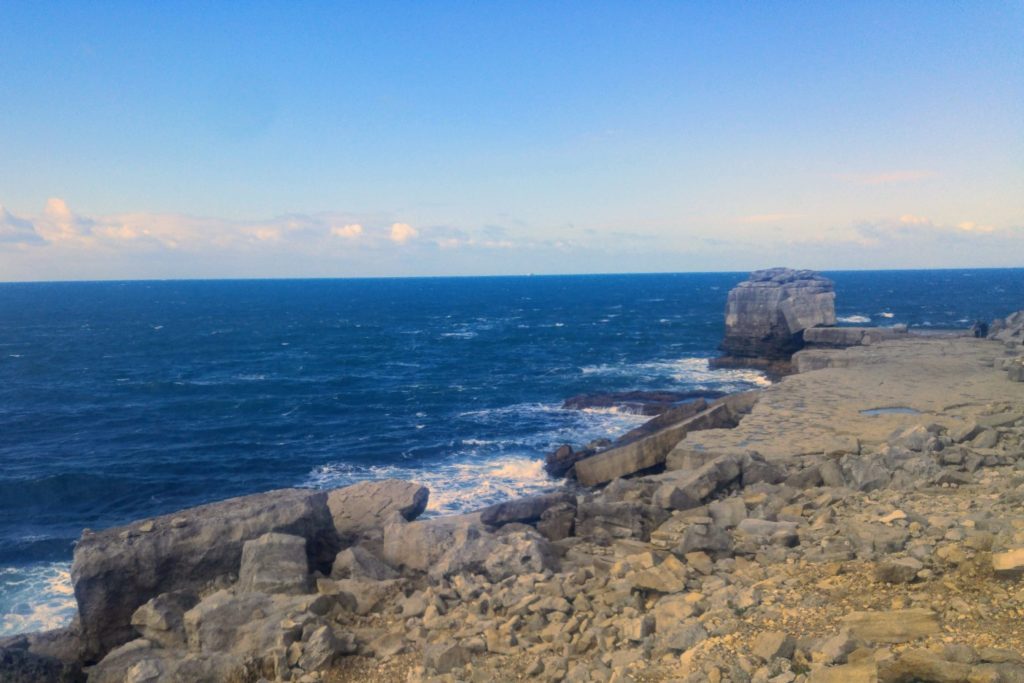
The east side of the island was more sheltered and calm with pretty coves and views over to the Purbecks. We picnicked overlooking the pretty Church Ope Cove, then proceeded with views of Portland Harbour and Weymouth. There were several inoperative cruise ships dotted along the bay, waiting for better times to take holidaymakers to the seas once again.